Category: Nature & Outdoors

  • 8 Beautiful Waterfalls near Hyderabad

    8 Beautiful Waterfalls near Hyderabad

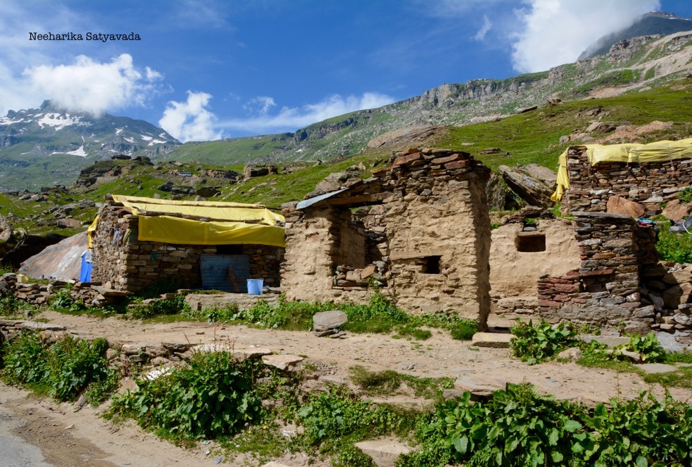
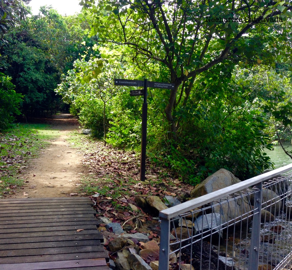
    Finding destinations closer home has today become more of a necessity than just a matter of choice. For all those with itchy feet, craving to travel, longing to just get outdoors here is a list of waterfalls near Hyderabad that one can get to easily. These beautiful waterfalls are just a road trip away!

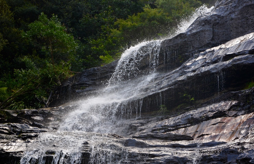
    1. Kuntala Waterfalls

    Distance from Hyderabad | 270 Kilometres
    Best Time to Visit | July – December. In monsoon.

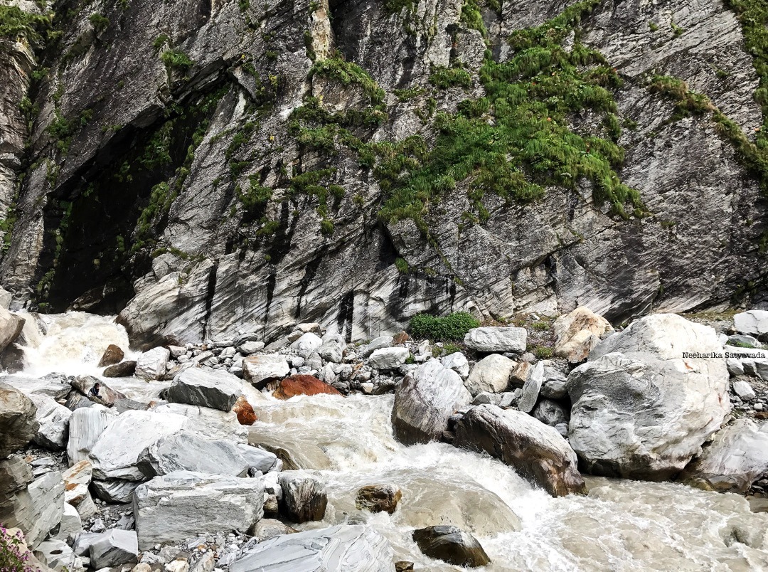
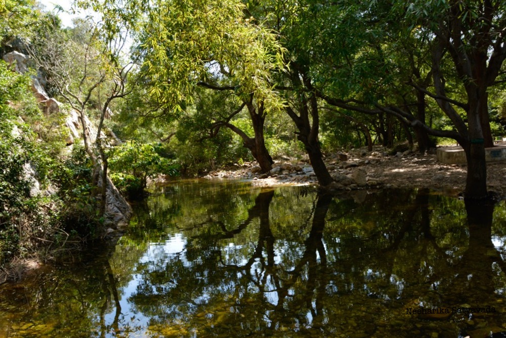
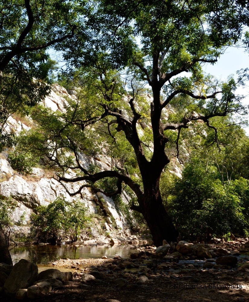
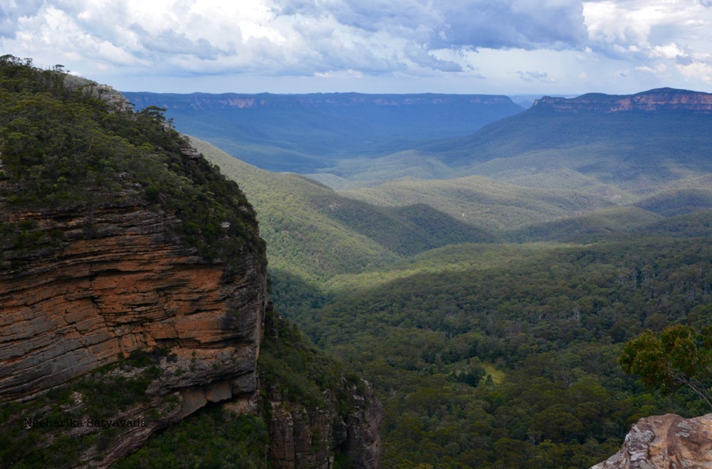
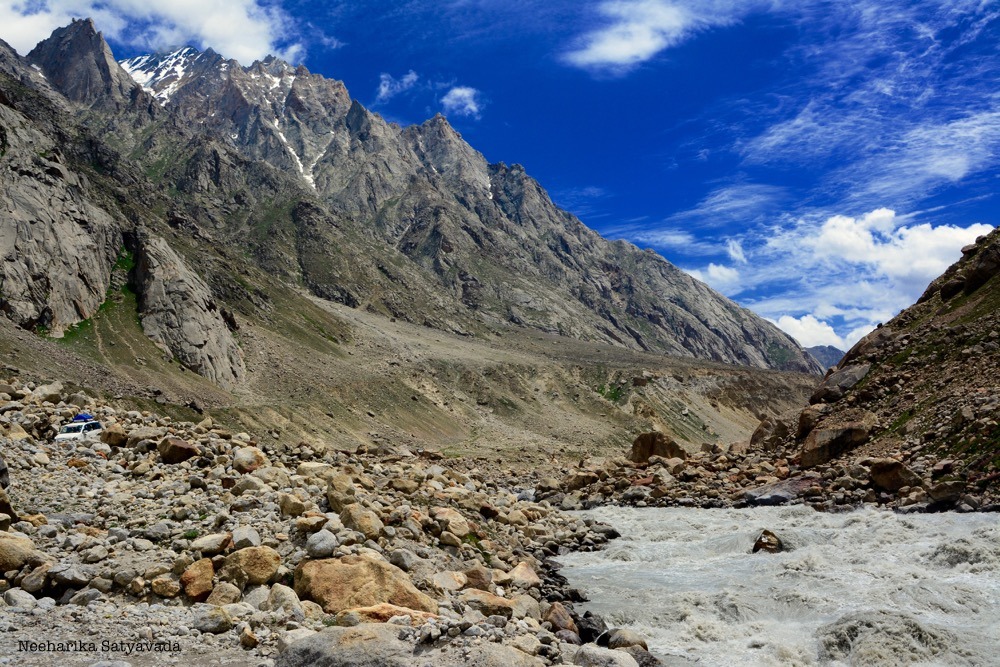
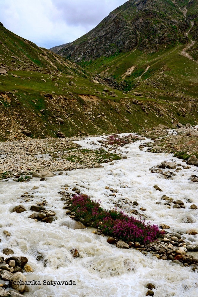
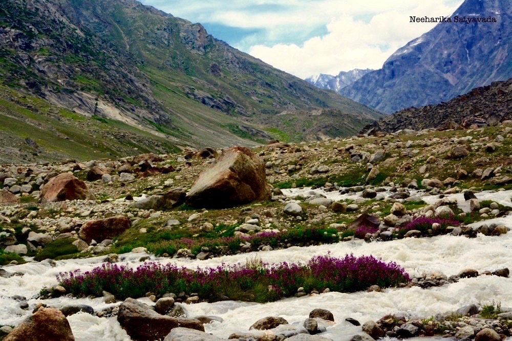
    Telangana’s highest waterfalls, the Kuntala falls descend from a lofty two hundred feet gushing down a rocky precipice only to flow away gently into the Sahayadris. Add to this, the fact that these waterfalls are easily accessible – it only takes a short hike down into forest. Making the Kuntala waterfalls the state’s most popular tourist places to visit near Hyderabad.

    It is said that the Kuntala Waterfalls get their name from the mythological Shakuntala and that it was here that King Dushyant fell in love with her, which led to their Gandharva Wedding – the ancient Hindu equivalent of a live-in relationship.

    How to get to Kuntala Waterfalls from Hyderabad

    Take the NH44 straight from Hyderabad to Nirmal via Armoor. Then head right for another 40 kilometres to get to Kuntala falls.

    2. Pochera Waterfalls

    Distance from Hyderabad | 267 Kilometres
    Best Time to Visit | July – December. In monsoon.

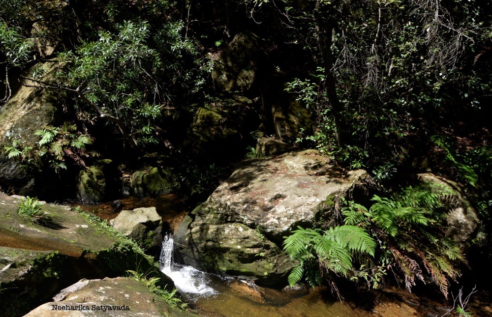
    Though the Pochera Falls are often talked of and visited together with the Kuntala Falls, owing to their proximity to each other, they couldn’t be more different from each other. In fact, you might end up feeling a little underwhelmed! For the waters here only drop a mere 20 meters.

    But alls not as tame as it looks. The Pochera falls are one of the deepest of all waterfalls in Telangana and the jagged edges of the Sahayadris jutting from the pool call for even more caution, if you plan to take a plunge. And, the dense forest that surrounds it only adds to this mood.

    How to get to Pochera Falls from Hyderabad

    Take the NH44 from Hyderabad to Nirmal through Nizamabad. A further 35 kilometres from Nirmal and you are there.

    3. Ethipothala Waterfalls

    Distance from Hyderabad | 167 Kilometres
    Best Time to Visit | Jul – Jan. Anytime but summer.

    The Ethipothala Falls in Andhra Pradesh have long been the most popular waterfalls near Hyderabad. A few kilometres from the Nagarjuna Sagar Dam, the waterfalls are not just a popular tourist spot but also a place of religious importance to the local Lambada tribes people.

    The lush greenery, brisk breezes, fully developed tourist facilities together with enough attractions in the area like the Buddhist island of Nagarjuna Konda, warrant a full weekend here.

    How to get to Ethipothala Waterfalls from Hyderabad

    Take the Nagarjuna Sagar Road straight from Hyderabad to get to Ethipothala falls. Alternatively you can also go via Nalgonda.

    RELATED

    9 Unusual Weekend Getaways from Hyderabad

    4. Mallela Theertham Waterfalls

    Distance from Hyderabad |  175 Kilometres
    Best Time to Visit | Oct – Feb. In winters, when the roads through the forest are clear.

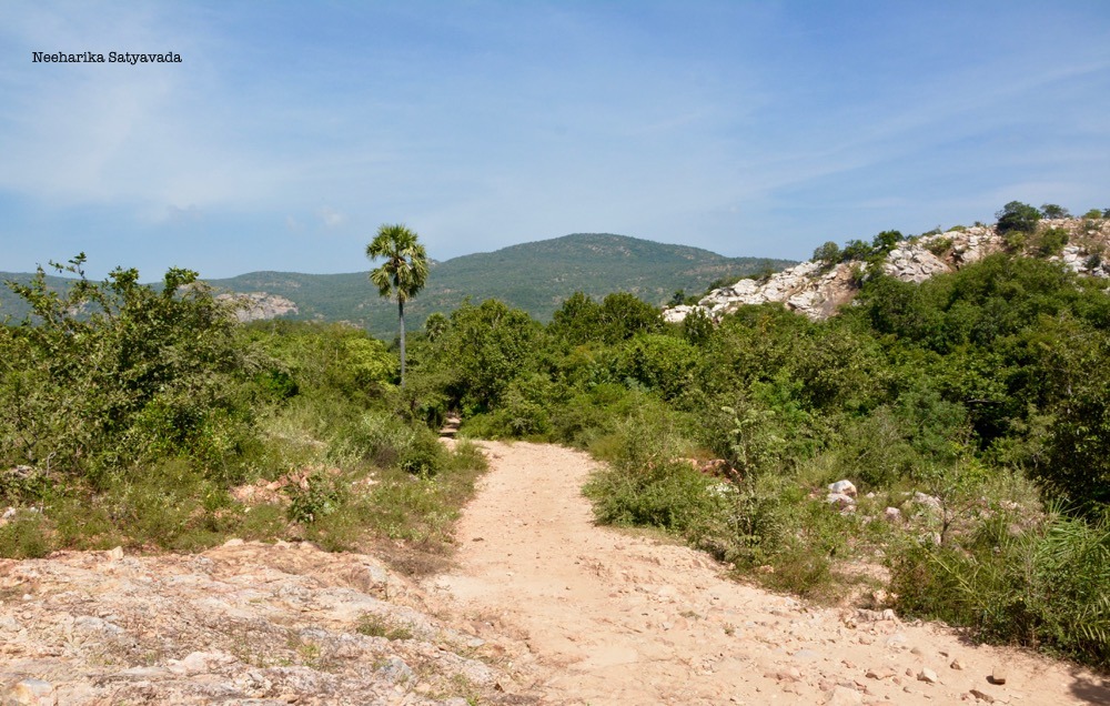
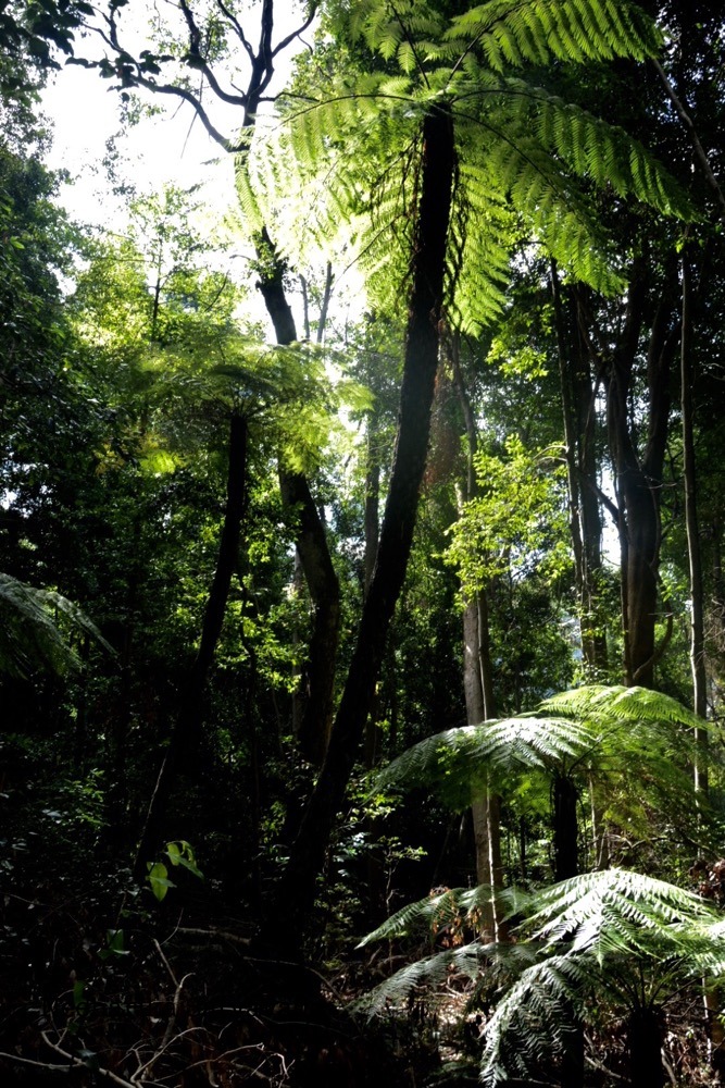
    Nestled in the Nallamalla forest near Srisailam, Mallela Theertham waterfalls is probably the most tranquil of falls on this list. One has to walk through the dense forest canopy and down some steps to reach the waterfall. 

    The road to Srisailam closes at sunset as it passes through the forest. So plan your trip to the falls early in the day so you are out of the forest before dark. For the Nallamalla forest is renown for its tigers

    How to get to Mallela Theertham Waterfalls from Hyderabad

    Take the NH765 from Hyderabad through Vangoor to get to the Mallela Theertham falls.

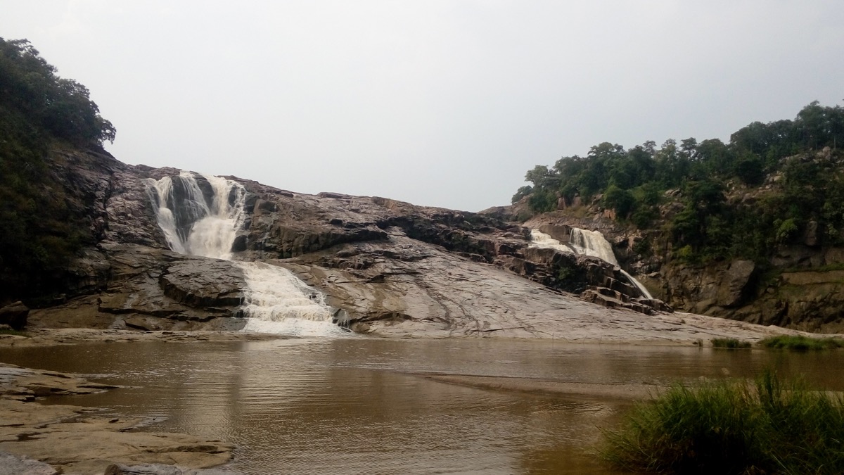
    5. Bogatha Waterfalls

    Distance from Hyderabad |  275 Kilometres
    Best Time to Visit | June – November. Around monsoon.

    Counted amongst the best Waterfalls in Telangana, the Bogatha Falls along the River Godavari fall not from a great height. But from all along the crest in several parallel streams making a wide pool at the foot of the waterfalls. And a dip in this natural pool surrounded by water streaming down from all around, with the forested hills forming a distant backdrop can be quite an experience.

    One needs to walk through the forest to reach the falls.

    How to get to Bogatha Falls from Hyderabad

    Take NH163 from Hyderabad and go via Warangal to reach Bogatha Waterfalls.

    RELATED

    5 Must Visit Places in Warangal

    6. Raikal Waterfalls

    Distance from Hyderabad | 212 Kilometres
    Best Time to Visit | October – March. After the rains.

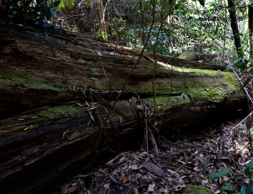
    This waterfall tucked away in the forests of Raikal in the Karimnagar district made an appearance on the tourist radar only recently when a few State Government officials got there with the intention of popularising it. This little known waterfall can only be accessed through a trail in the forest and takes a good two and a half hours to reach.

    The forest trek along with the tiered waterfall make Raikal one picturesque destination.

    How to get to Raikal Falls from Hyderabad

    Take the NH44 to go via Nizamabad or go via Siddipet along the Vemulawada Road.

    RELATED

    Road Tripping though Karimnagar

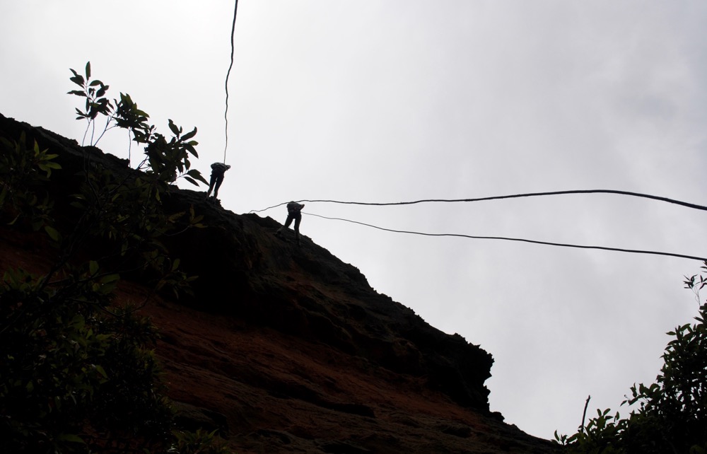
    7. Gayatri Waterfalls

    Distance from Hyderabad | 270 Kilometres
    Best Time to Visit | July – December. In monsoon.

    Cascading down a 100 feet, the Gayatri Falls are a powerful yet little known waterfalls in Adilabad. The smooth rock face and the drop height make this is ideal for waterfall rappelling, giving you the perfect weekend getaway if you are looking for some adventure in the outdoors. 

    To reach the waterfall is a 5 kilometre walk through the secluded forest and it is therefore advisable that you get a guide from the adjoining village of Tarnam to accompany you.

    How to get to Gayatri Waterfalls from Hyderabad

    Located quite close to the Kuntala & Pochera falls, Gayatri falls can be reached via the NH44, from Hyderabad through Nirmal.

    8. Bheemuni Padam Waterfalls

    Distance from Hyderabad | 200 Kilometres
    Best Time to Visit | July – September. In Monsoon.

    In Warangal, near the now famous Pakhal Lake is the Bheemuni Paadam Waterfalls. The water descends from a rock that is said to be shaped like Bheema’s foot. The very same Bheema of the Pandavas from the Indian epic Mahabharatha who is said to have possessed the physical strength of a ten thousand elephants.

    Though the water gushes down 70 feet, it does so rather peacefully, tempered by the tiered the rock face of the cliff.

    How to get to Bheemuni Paadam Waterfalls from Hyderabad

    Take NH163 to Warangal and continue on till Gudur to get to the Bheemuni Paadam waterfalls. Alternatively you can also take the NH65 from Hyderabad to reach the falls via Chityal.

  • In Photos: The Valley of Flowers

    In Photos: The Valley of Flowers

    The Valley of Flowers. A breathtakingly beautiful (literally!) high altitude meadow of alpine flowers in the Western Himalayas.

    CIH_Valley of Flowers

    Accessible only through a trek route through the mountains, this valley is located in a transition zone that lies between the Zanskar Region of the Himalayas to the north and the Greater Himalayas to the south. Together with the Eastern and Western Himalayas on either side this valley is endowed with some extraordinary bio diversity.

    DSC_8228

    From numerous restricted range bird species to highly threatened species of medicinal plants this high-altitude Himalayan valley isn’t just about stunning flowerscapes.

    DSC_8111.jpgvalley of flowers_3.jpg

    Together with the rugged wilderness of the Nanda Devi, these two National Parks are inscribed as an UNESCO World Heritage Site.

    Commandeered over by India’s second highest mountain, Nanda Devi and reached through the world’s deepest gorge, Rishi Ganga, the Nanda Devi National Park is renowned for its spectacular topography. It is surrounded by glaciers and meadows, of which the Valley of Flowers is one.

    DSC_8168 copyDSC_8240.jpgDSC_8238DSC_8235.jpgDSC_8071.jpgvalley of flowers_4.jpgvalley of flowers_5.jpgDSC_8074valley of flowers_6.jpgDSC_8087Nvalley of flowers_11.jpgDSC_8152-2 copyvalley of flowers_10.jpgvalley of flowers_9.jpgDSC_8248 copyvalley of flowers_8.jpg


    Also Read: 7 UNESCO World Heritage Sites in 2017


  • Gandipet Lake. Where is it?!

    Gandipet Lake. Where is it?!

    20 Kilometers off the city, on the outskirts, is the Osman Sagar Lake/Reservoir. Generally referred to as Gandipet, this lake used to be the preferred haunt of youngsters. Though I am not sure if it still is the place where kids sneak off to from their school or college, it sure has turned out to be a popular spot for those same kids who have now grown up to hold software jobs in this IT Hub that is Hyderabad.

    Well it isn’t so much ‘outskirts’ either now, with its connectivity to Gachibowli-Hitech City and all the urbanisation that is happening in and around it.

    DSC_1025.jpg

    But, this makes it one of the most popular destination for cycling enthusiasts in the city today.

    BP36_Gallery3

    & that leaves us with “Where is The Lake?”

    DSC_1016

    We get there and we see nothing. Yes, nothing but the heavy fencing, barricades and cops. So I walk up to the fence for a closer look hoping to find something that I can photograph, document.

    DSC_0974 (1)

    and??

    Gallery 2

    DSC_1008 (1)

    Well, inspite of there being only a trace of the lake that once was, the walk leading up to it is so beautiful and tranquil, specially so on a rainy morning that, that in itself makes for a pleasant way to slow things down right here in the city.

    DSC_0976

    Gallery 3

    So, a curious case of Afforestation and Urbanisation then?!


    Discover other Lakes in Hyderabad:

    The Lost Pump House: Fox Sagar
    The Flamingo Story: Ameenpur
    A Lake in Resort Land: Shamirpet


  • Its a small, small world.

    Its a small, small world.

    When a photographer friend invited me to a free Macro Photography lesson along with the chance to try a new camera, some lenses and extension tubes et al, I was not going to pass up the opportunity. But, to be honest the thought of getting myself out of bed early on a Sunday morning just to go to the Zoo wasn’t really that exciting a plan.

    IMG_1221.jpg

    I had been to the Nehru Zoological Park when I was seven, and my dad was taking my cousins who were visiting Hyderabad and me. But from the happy little otter pair that greeted us to the photos that i got of the creepy crawlies, I came away happy and content and with yet another lens added to my wish list!

    IMG_1364 (1)

    Untitled design (1).jpg

    IMG_1333

    Untitled design

    IMG_1362

    PS: This friend of mine is doing a Workshop for Kids on 14th Aug,  for which this was a trial run. So, do check it out if you are interested and take my word for it that it was a super fun experience hunting for these fellows. :)  & Macro Photography is surely one tough task master when it comes to patience.


    Read Next: Into The Jungle: Ubbalamadugu


  • Into The Jungle: Tada Falls

    Into The Jungle: Tada Falls

    Ubbalamadugu in Andhra Pradesh is a popular trekking and road trip destination from Chennai. Located in Tada, deep in the jungle of Satyavedu just north of the Sri City SEZ, these waterfalls are more commonly known as Tada Falls.

    A short walk through the trail gets you to the Jungle Pools and this is a lush green shady oasis where the water from the falls travels downhill to form clear cool pools. Which also gives this place its name, derived from the the telugu words Ubbari Madugu meaning spring pool. A further trek of 10 kms through the hilly terrain brings you to the actual waterfalls. But this is where you should stop, for though the trek is quite scenic it isn’t really a great trek for girls and a definite no-no if you are not with a group.

    In fact, halfway along the trail, once we a caught a glimpse of the distant falls, we turned back because of that unmistakable feeling of unease to go ahead, heightened only by the isolated feel of the place and the groups of youngsters looking to break free! Even the monkeys don’t venture too far out here and like to stick around in the spots where they are sure to find leftover chips and coke.

    It is nevertheless a beautiful place, so depending on the size of the group you are travelling with and the time of the day, you could pace your exploration.

    20160109_113450 - edited.jpg

    _DSC7996 (1).jpg

    _DSC7912

    _DSC8016 (1)

    Ubbalamadugu Waterfalls_Tada Falls

    _DSC7969 (1).jpg

    umadugu edited

    _DSC8022.jpg


  • Ameenpur Lake: The Flamingo Story

    Ameenpur Lake: The Flamingo Story

    Flamingoes, vibrantly hued and  long-legged have always been popular in pop art and now with so many designers borrowing from art to add quirkiness to everything from accessories to home decor, you see these pink birds everywhere!

    For all the beautiful colours of its plumage, these birds are not as popular in India as say a peacock, so they become “exotic” when found in India. After the disastrous trip this year to the Flamingo Festival at Pulicat, when I actually discovered them here, right in the city, you can imagine my joy. :)

    & now I am more than excited and content about the photographs I got to click of them. Though I wager I might still go back to Ameenpur Lake to get better shots!

    Flamingoes_1

    DSC_9523 (1).jpg

    Flamingoes_2


    DSC_9552 (1)

    Not quite common knowledge, the Ameenpur Lake in Hyderabad is an expansive lake of over 100 acres, right in the backyard of one of the Industrial Areas in the city. Though more than half of it has dried up – the lake bed is chock full with shells, clearly once part of the lake itself – it still holds its ground as an important wetland area and a safe haven for migratory and local birds alike. This lake was recently adopted by the Telangana State Special Protection Force and the State Government is working towards declaring it a Heritage Biodiversity Park and has granted funds towards restoring it.


    Explorers Guide

    Getting There: It is just off the IDA Bollarum Road, between Miyapur & Bachupally. Use Google Maps to guide you there, besides on a weekend you can always follow the trail of vehicles heading in that direction once you are on that road.
    Remember: Be there at the lake early in the morning. The locals say the flamingoes leave by around 10 in the morning and are back only in the evening. I am yet to go there later in the day though, so I am not too sure about this.


    Read Next: Its a small, small world.


  • Abseiling in The Blue Mountains

    Abseiling in The Blue Mountains

    Abseiling in The Blue Mountains was one of my most memorable adventures in Australia – besides surfing at Bondi beach, of course – and also more my kind. The Greater Blue Mountains World Heritage Area is the ideal scenic weekend getaway from Sydney.

    With the town of Katoomba as the base, you can spend all day in the Blue Mountains walking through the valley floor among forests that transport you to ‘Jurassic Park’, hiking back up to look out over the hazy blue forest (which gives this national park its name), all the while discovering waterfalls and rock formations along the way.

    FILE23726 (1)

    FILE23757 copy

    FILE23694

    FILE23566 (1)

    FILE23538 (1).jpg

     Of these, The Three Sisters sandstone turrets is the most iconic.

    The Legend of The Three sisters has it that a witch doctor, Tyawan had three daughters Meenhi, Wimlah and Gunnedoo who accidentally anger the aboriginal mythical creature Bunyip, living down in the valley. To protect the sisters from the Bunyip, Tyawan then uses a magic bone to turn them to stone and himself turns into a Lyre Bird. But, in the process drops the magic bone and you see the Lyre Bird rummaging through the valley floor even today, it is said in search of this very magic bone.

    In consequence, it is recognised as a place of cultural importance for the aboriginal people.

    FILE23186.jpg

    We were there for the weekend, put up at the YHA  and spent a day hiking through the forest trails and up the Giant Stairway and another abseiling and sheltering under a cave watching the rain come in as the clouds closed in on us . While the evenings were spent unwinding in Katoomba. It was the perfect mix of  excitement and idyllic.

    I had never heard of ‘abseiling’ till I was in Sydney. Rappelling yes, but not Abseiling. Coming from the German term Abseilen for ‘to rope down’, it is a mountaineering technique where you use ropes and a belay to descend a rock face/cliff too steep to descend on foot.

    As a beginner you start with 30 feet and then go on to a cliff with less foothold and more of a drop and then the final 60 feet sheer drop.

    & trust me when I say you will get high on it.

    FILE24083 (1)

    For some one who loves the mountains and exploring, this was actually special, with that extra  edge of  adventure and I sure am glad that I did it when I could.

    Imagine an escapade like that with a view like this!

    FILE23182 (2)


  • Go Flamingo, Go!

    Go Flamingo, Go!

    The Flamingo Festival in Andhra Pradesh is an annual affair by the State Government to increase awareness about the conservation of Flamingos, which make the Pulicat Lake their winter home. As far as I know, this 3 day festival has been happening since 2012, in January every year at the Pulicat & Nelapattu Bird Sanctuaries of Andhra Pradesh.

    Only this year, there was not a Flamingo in sight.

    20160109_093259.jpg

    The Pulicat Lake, which is the second largest salt-water lagoon in India, is the winter home to numerous Birds from Central Asia (of which Flamingos and Pelicans number the most). These birds come from as far as Siberia to as near as Ladakh, to mate and nest. Looking to escape the chill, they fly across continents, traversing thousands of miles of ocean.

    Read: The Flamingo Story

    and, what do they find when they finally reach here, their winter home?

    Desolation.

    Pulicat Lake, January 2015.

    To get here you take the road to Sri Hari Kota, an Island off the coast of Bay of Bengal that houses the Satellite Launching Station of ISRO. This is a stretch of around 15km of road with the Pulicat Lake on either side, for as far as you can see.

    When I had gone here last year, I had never seen anything like it before. The horizon was pink with flamingos and this ‘Road Through The Lake’ was like no other.

    BP15_MG_0259

    IMG_0316 (1).jpg

    IMG_0241 (1)

    IMG_0226

    IMG_0252 (1)

    IMG_0304 (1)

    Pulicat Lake_8.jpg

    IMG_0295 (1)

    Sorry, no clear shots of  the flamingos. :( This was all that I could get on my phone camera.

    IMG_0320 (1).jpg

    Pulicat Lake, NOW. January 2016.

    Today the Pulicat Lake is totally choked up with sand, thanks to the roads being laid across it cutting off its water inflow from the ocean and making it unsustainable for marine life. 30,000 fishermen once depended on this lake for their livelihood.

    Words fail me, as I try to describe the deliberate devastation brought to this place.

    The experience of driving on that road-through the lake-to the Island, went from one end of the spectrum to the other, just like that!

    No water, no marine life, no flamingos. NADA.

    N

    Pulicat Lake_Flamingos Andhra

    _DSC8046

    N

    I have been writing this post in my head for 15 days now, but every time I add a photo or a word to the actual draft I can only feel that I am not able to do justice to the situation with my words or photographs. So here is a 15sec video from last year, which I hope paints a more accurate picture of the now no longer existent tranquil life of the Birds of Pulicat Lake.

    One can only hope that measures are taken to reverse the damage and the Flamingos come back some day!


    Read Next: Into The Jungle


  • Driving through Lahaul & Spiti

    Driving through Lahaul & Spiti

    I travelled through the Lahaul and Spiti Valley of Himachal for 10 days and most of that time was spent driving on rocky roads and glacial streams. All that time, I stared awe-struck at the magnificence of the Himalayas, as we went from one place to the next, winding amidst them.

    So, here is an attempt to take you down that road – a photographic journey of Driving through Lahaul & Spiti.

    DSC_0052

    DSC_0059

    DSC_0154 (1).jpg

    DSC_0261 (1)

    DSC_0510 (1).jpg

    DSC_0564

    DSC_0541 (1)

    DSC_0526 (1)

    Lahaul & Spiti_Himachal_India


  • Islands of Singapore: Pulau Ubin

    Islands of Singapore: Pulau Ubin

    Just off the coast of mainland Singapore is Pulau Ubin, a boomerang shaped island, meaning ‘Granite Island’.

    This was once home to thousands of settlers dependent on granite quarrying. Though abandoned since the 1970s and reclaimed by nature, these quarries remain a picturesque relic of the past.

    FILE2910

    Now, the few remaining villagers subsist on farming and fishing.

    Pulau Ubin_16

    The fact that, this is the one last bit of the heavily urbanised Singapore that still retains its rustic village ways is what makes this a popular day trip destination.

    You can go exploring this quiet island on foot or by cycling along the many bike trails. Stopping along the way for a birds eye view of the luxuriant tree canopy and flourishing bird life from the viewing tower.

    A cape, surrounded by wetlands rich in bio-diversity, lies at the tip of Pulau Ubin. This is Chek Jawa and its popularity precedes it. So much so that, we were not the only ‘tourists’ who had packed a picnic lunch to eat at the lookout-jetty on the boardwalk.

    & The view from here is made even more interesting with the flights taking off and landing at the Changi airport! :)

    Pulau Ubin_11

    The Coastal Boardwalk runs along the coast for almost a kilometer and leads you through the mangroves to the jetty right in the middle of the Straits of Johor.

    Pulau Ubin_Singapore Islands

    Though made of concrete, this boardwalk is built to look like wood so the effect is not jarring but goes well with the unspoilt feel of the island.

    The Island  of Pulau Ubin boasts of a variety of ecosystems in and as one. Coastal Forests, Mangroves, Seagrass Lagoons, Tidal Flats – both mud & sand and Coral rubbles. Where, even rocky shores and sandy beaches co-exist.

    Pulau Ubin_12

    FILE2845

    Mangroves – Protectors of shorelines.

    FILE2810 (1)

    FILE2804 (1)

    More than even the ‘exploring on a cycle’,  it was the walking through these shady mangroves that I enjoyed doing the most on this island.

    May be it was my coming from the country of the Sundarbans. Or my counting The Hungry Tide and Midnights Children amongst my favourite books. I admit that ‘mangroves’ did hold a certain fascination for me. Even before I ever saw them for real.

    But the experience of walking through a mangrove forest, where the sun-rays play hide and seek with you, as you hear and feel the distant breeze from the surrounding sea, definitely heightened that fascination.

    Found in calm waters of low salinity, the Nipah Palm is the only true mangrove palm. Like the other palms, it is tapped for its sap that is fermented to make alcohol. While its mature fronds are used for thatching roofs & are also woven into mats & baskets. Locally though, its most recognizable use is its edible seed.

    Only a short boat ride away, this island has a lot to offer and is totally worth the time!


  • Sunrise on Surfers Paradise

    Sunrise on Surfers Paradise

    This week, I am revisiting some old memories!

    Last year when I was living in Sydney, we had a study break when we were supposed to work on a project. Instead a bunch of us (read most of the class) rented an apartment on Surfers Paradise in Gold Coast & took off.

    Some, including me took a flight, while other lucky ones drove down. Though I did miss taking the scenic route, I woke up to this!

    sunrise_beach_goldcoast

    A Sunrise on The Beach.

    sunrise_beach_goldcoast

    sunrise_beach_goldcoast

    There I am in the living room, waking up, sticking my head out & see it getting light outside. So, I wake up others and we walk across from the apartment to sit on the beach and catch the sunrise.

    sunrise_beach_goldcoast

    Each of us wanders off to pick a spot & indulge in some peace and thought.

    sunrise_beach_goldcoast

    & Then, just like that, the wait is over.

    sunrise_beach_goldcoast

    and a glorious dawn breaks.

    sunrise_beach_clouds_goldcoast

    sunrise_beach_clouds_goldcoast

    The time is more than perfect for a quite walk on the beach,

    sunrise_beach_goldcoast

    to the sound of crashing waves.

    sunrise_beach_goldcoast

    sunrise_beach_goldcoast

    I believe a beach at this twilight hour has a completely different personality from when it gradually assumes its character as the day wears on.

    Do you know of any other beaches where one could wake up to the rising sun?

    sunrise_beach_goldcoast

    Tell me! Would love to go there one day. :)


    Read Next: Abseiling in The Blue Mountains


  • A Day on The Rottnest Island

    A Day on The Rottnest Island

    Rottnest Island is a popular holiday island in Western Australia eighteen kilometres off the coast of Perth. This island framed by the azure waters of the Indian Ocean is a ferry ride away. Making for an ideal day trip destination.

    Separated from the mainland around 7000 years ago, it is famous for its secluded bays, pristine beaches & crystal clear waters.

    rottnest island_perth_australia

    rottnest island_perth_australia

    An A Class Nature Reserve, it is home to a range of rare and remarkable species of plant, marine & wild life. Its extensive seagrass beds provide shelter & nutrients in the shallow marine environment.

    The population of Quokkas – who have lately become popular as the World’s Happiest Animal – led the Dutch seaman Willem de Vlamingh to name this island, their island, the Ratte nest (rat’s nest); which eventually became Rottnest.

    rottnest island_perth_australia

    I was in Sydney last year & travelled to Perth for my birthday weekend.
    & that is how I found myself for a day on the Rottnest Island.

    The first thing we did as soon we got to the island was to find a map & hire a bike.

    rottnest island_perth_australia

    Bikes are the transportation of choice on this island! (As you can see from the picture above :D)

    But, you can also choose to hop on & off the bus or book one of the tours including a historic train ride, which bring to life the colonial heritage of the island.

    rottnest island_perth_australia

    So, what else can one do besides enjoying the sweeping ocean views, scenic salt lakes & moors and the sights of trees shaped by years of oceanic winds?

    rottnest island_perth_australia

    rottnest island_perth_australia

    rottnest island_perth_australia

    Eat at waterfront restaurants with a view like this.

    rottnest island_perth_australia

    Swim, dive, snorkel, fish, sail.. laze on the beach!

    rottnest island_perth_australia

    rottnest island_perth_australia

    Discover shipwrecks.

    rottnest island_perth_australia

    There are such a number of great trails to follow & brilliant sights to explore that I came away feeling a day is just not enough!


    rottnest island_perth_australia_mapinmypocket

    PS: Google Maps are just as fun, though not so pretty!


    Read Next: Sunrise on Surfers Paradise


    Read More on Australia:

    Abseiling in The Blue Mountains


  • The Road to Serenity: Chandratal Lake

    The Road to Serenity: Chandratal Lake

    My first ever camping experience, back in the summer of 2013, was at the incredibly beautiful Chandratal Lake in Spiti Valley, a cold desert valley that is the middle land between India and Tibet.

    A sweet water glacial lake in the Himalayas and the source of the Chandra River, the Chandratal Lake is a RAMSAR Convention designated wetland of international importance. It is also believed that the elusive Snow Leopard calls the catchment area of this lake its home. Though I wasn’t fortunate enough to catch a glimpse.

    Where is Chandratal Lake?

    Chandratal Lake is in Spiti Valley, Himachal Pradesh. A valley – in the hinterland of the Indian Himalayas – bordered by Ladakh to its North and Tibet to its East.

    Nearest Airport | Kullu – Manali Airport, Bhuntar
    Nearest Railway Station| Shimla
    Nearest Major Town | Manali

    Why should you visit Chandratal Lake?

    To pitch a tent amidst the magnificent Himalayas on a freezing summer night and to sleep under the  starlit sky is amazing enough in itself. But if the campsite was to be at this remote and not-so-easily accessible Moon Lake, there then you have the trip of a lifetime guaranteed!

    READ: 20 Photos to Inspire You to Visit Spiti Valley this Summer

    How to reach Chandratal Lake?

    Manali to Chandratal Lake

    Distance | 140 Kilometers
    Mode of Travel | Road
    Drive Time | 8 – 10 Hours
    Route | Manali ? Rohtang Pass ? Gramphu ? Chhatru ? Batal ? Kunzum Pass ? Chandratal
    (via Leh – Manali Highway)

    This is the most popular and also the most convenient way to get to Chandratal. We left from Manali early morning & it was by evening that we reached Chandratal. After a slight delay at a roadblock on the Rohtang Pass due to a landslide, we made quick stops for breakfast & lunch at Gramphu and Batal. Then the mandatory stop at the Temple on Kunzum Pass & we were at Chandratal, just in time for the setting sun.

    [googlemaps https://www.google.com/maps/embed?pb=!1m58!1m12!1m3!1d431383.18792420626!2d77.1316369179949!3d32.360685524926204!2m3!1f0!2f0!3f0!3m2!1i1024!2i768!4f13.1!4m43!3e0!4m5!1s0x39048708163fd03f%3A0x8129a80ebe5076cd!2sManali%2C+Himachal+Pradesh!3m2!1d32.2396325!2d77.1887145!4m5!1s0x39047ef0b27a15ad%3A0xbfdd7e65efefc66b!2sRohtang+Pass%2C+Himachal+Pradesh!3m2!1d32.3716426!2d77.2466221!4m5!1s0x39047f19a301a44d%3A0x5219cdb1546edf8f!2sGramphu%2C+Himachal+Pradesh!3m2!1d32.393341299999996!2d77.2593959!4m5!1s0x39047a6fadc75a6f%3A0xe6e498b73b807150!2sChhatru%2C+Himachal+Pradesh!3m2!1d32.319532599999995!2d77.3643846!4m5!1s0x39040c66245ccba7%3A0x987c081d0702730a!2sBatal%2C+Himachal+Pradesh!3m2!1d32.3503907!2d77.6169889!4m5!1s0x39040bebee5182d9%3A0xd3c55485c6a38678!2sKunzum+La%2C+Dhar+Thachakarpo%2C+Himachal+Pradesh!3m2!1d32.3945072!2d77.6349628!4m5!1s0x3903f599418ac95b%3A0x13f9d535285dabf9!2sChandra+Taal%2C+Himachal+Pradesh!3m2!1d32.4823581!2d77.6156642!5e0!3m2!1sen!2sin!4v1535522449923&w=945&h=450]

    In Photos: Chandratal Lake

    chandratal_himalayas
    The Chandratal Lake in all its glory.

    chandratal_himalayas
    First glimpse of Chandratal, as you reach the end of your hike from the campsite.

    chandratal_himalayas
    The walk that leads up to it..

    chandratal_himalayas
    & here you are at the lake.

    Did you know?

    The Chandratal Lake reflects the colour of the sky.

    chandratal_himalayas
    This image was shot at sunrise,  just when the lake starts to appear – a clear blue mirror of reflections.

    chandratal_himalayas
    & as the sun sets, it turns green.

    From the minute you get to the lake, an all-consuming sense of peace washes over you. Adding to the serenity of the lake are the Buddhist prayer flags fluttering in the breeze.

    chandratal_himalayas

    chandratal_himalayas

    chandratal_himalayas

    chandratal_himalayas

    chandratal_himalayas

    My life changed when I lay eyes for the first time ever on the mighty Himalayas. Their sheer magnificence is humbling. So, it is but natural that the experience of spending time at this pristine lake, nestled in the snow kissed mountains, totally transports you to another time and place.


    Read More on Spiti Valley:

    Where The Monasteries are.
    a Fortress, a Monastery & a Lake: Dhankar
    Driving through Lahaul & Spiti